Sample capture data
Every point cloud on this site came off an instrument we sell. No renders posing as scans, no borrowed datasets, and no marketing department's idea of what a scan looks like. These were captured on a UK university campus with a handheld SLAM scanner, walked rather than flown. Download a preview now, with no form and no email address, or ask for the full datasets.
Download
The previews are a uniform decimation, every 77th point of the exterior and every 54th of the interior, taken across the whole file rather than truncated. That thins the cloud evenly over the entire walk, so what you are judging is the same capture at lower density rather than a selected corner of it. Nothing was cleaned, filtered or manually tidied.
Want the full files? The exterior is 1.3 GB and the interior is 922 MB, which is past what we can serve from a product page. Email support@mysurveyingdirect.com with the word "datasets" and we will send a link. No form gate, no drip sequence and no sales call unless you ask for one.
What is in the files
| Campus exterior | Interior | |
|---|---|---|
| Full dataset | 1.3 GB, 40,451,057 points | 922 MB, 28,423,912 points |
| Preview above | 17.0 MB, 525,339 points | 17.1 MB, 526,369 points |
| Format | LAS 1.2, point data format 3 | LAS 1.2, point data format 3 |
| Extent | 148 m by 187 m, 52 m of height | 30 m by 37 m, 6 m of height |
| Method | Walked loop, handheld SLAM | Walked, handheld SLAM |
| Conditions | Outdoors, ordinary May daylight | Satellite denied, no control network, no targets |
| Color in the file | Elevation ramp, not photographic RGB. See the note below | Elevation ramp, not photographic RGB |
| Relative accuracy | Under 1 cm, post processed | Under 1 cm, post processed |
| Also supplied | Solved trajectory | Solved trajectory |
What the output looks like
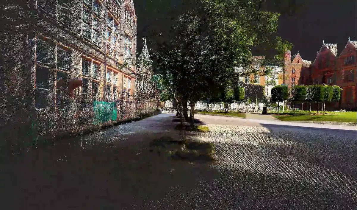
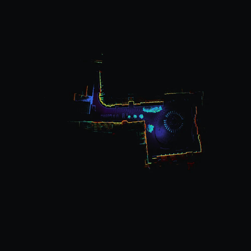

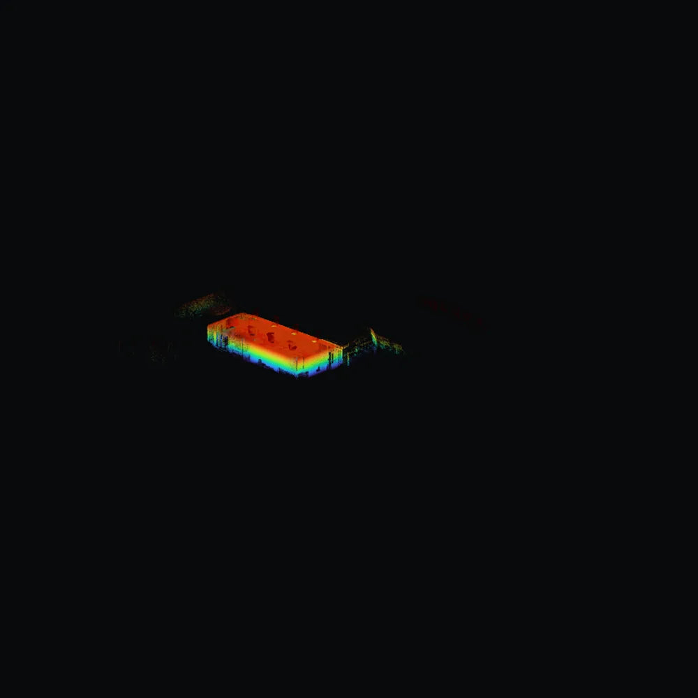
How to judge a point cloud you have been sent
Most sample data published by equipment vendors is chosen to flatter the instrument. Here is what to actually look at, including on ours.
- Open it at full density, not decimated. The previews above are decimated and we say so on the button. If a vendor will only show you their data inside their own viewer, that is the finding.
- Look at the edges of things. Building corners, kerbs, the tops of walls. Noise shows up at edges long before it shows up on a flat surface.
- Follow the trajectory back to the start. On a walked loop the beginning and the end are the same place. How far apart are they in the cloud? That is drift, and it is the honest measure of a SLAM instrument. The trajectory files above are supplied so you can do exactly this.
- Check the featureless stretches. Long corridors, blank walls and open fields are where SLAM has nothing to track against. Look at those specifically rather than at the interesting geometry.
- Ask what was cleaned. If a dataset has had its noise manually removed before publication, it is a picture of somebody's afternoon rather than of the instrument. Ours has not been.
- Read the header, not the marketing. A LAS header states the point count, the scale factors and the bounding box. If they disagree with what you were told, believe the header.
What was captured, and what was not
These are real working captures rather than a demonstration staged for a camera. The site is a UK university campus, walked in ordinary conditions in May. We do not name the institution, because a capture belongs to the people whose site it is and publishing the name is not ours to do.
If you want to see the instrument against something closer to your own problem, say what that is. A quarry, a corridor, a plant room, a heritage interior. We would rather show you a capture that answers your question than a prettier one that does not.
Ask for the full datasets, or for something closer to your work
The previews above need no email address. For the full 1.3 GB and 922 MB files, or an RGB colorized export, just ask.
Email support@mysurveyingdirect.com
Call +1 888 850 6533, Monday to Friday, 9 to 5 Mountain Time
We reply no later than the next working day. If you do not have software to open a LAS file, CloudCompare is free and will open all four.