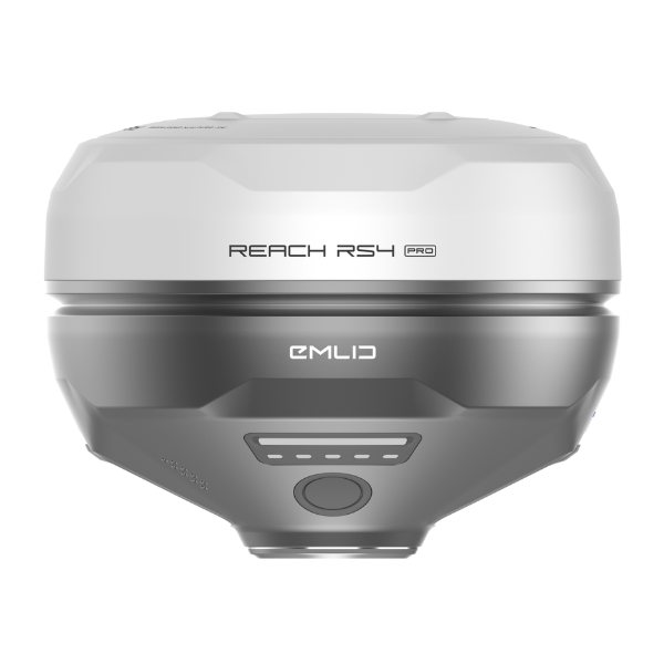
Emlid Reach RS4 Pro — My Surveying Direct
  • Complete the Form below to receive a custom quote from our Enterprise Sales team. You'll hear from us typically within the hour.
  • Skip to content
    Free Shipping for the Lower 48 States
    Free USA Shipping (T&Cs Apply)

    Emlid Reach RS4 Pro

    by Emlid
    In Stock & Ready To Ship
    Original price $4,599.00 - Original price $4,599.00
    Original price
    $4,599.00
    $4,599.00 - $4,599.00
    Current price $4,599.00

    Price Match Guarantee

    Ships in 1-2 Business Days

    Unlimited After-Sales Support

    • Visa
    • Mastercard
    • American Express
    • Discover
    • Diners Club
    • Google Pay
    • Apple Pay
    Emlid Reach RS4 Pro | Professional GNSS Receiver with AR Guidance
    ✅ Authorized Emlid Dealer 🏷️ Best Price Guarantee 🚚 Free Shipping 🛡️ Manufacturer Warranty 🔧 Professional Support

    Reach RS4 Pro All-Band GNSS Receiver

    Professional-grade GNSS receiver with dual cameras and AR guidance

    Reach RS4 Pro Professional GNSS Receiver

    Overview

    The Reach RS4 Pro is a professional-grade GNSS receiver designed for high-precision surveying and mapping applications. With multi-band support, tilt compensation, dual cameras for AR guidance, and robust connectivity options, it delivers centimeter-level accuracy in the most challenging environments.

    Stake Out Faster with AR Guidance

    With the RS4 Pro, stakeout becomes visual. Rather than simply following coordinates on a map, your designs are directly overlaid on the real world, clearly showing where to place stakes.

    Dynamic Navigation

    Intuitive guidance to your target points

    Auto Bullseye View

    Automatically aligns with your target

    Cut & Fill Indicator

    Visual representation of elevation differences

    Quick Point Switch

    Seamlessly move between points

    Crews can work faster with AR guidance, even on complex construction sites and roadworks.

    Measure from Images

    Even if you can't put the pole there, you can still measure it with your RS4 Pro. Use the cameras to measure building facades, areas behind fences, across busy roads and any other inaccessible points.

    Save time setting up a total station and avoid hazardous areas.

    Across water

    Behind fences

    Over traffic

    Above pits

    Past hedges

    Around machinery

    Reach RS4 Pro Measuring from Images

    Unmatched Precision, Even Under Canopy

    The Reach RS4 Pro delivers centimeter-level accuracy, even in challenging environments like forests or urban canyons. With support for every GNSS constellation and signal frequency, including the L5 and L6 bands, resistant to multipath and interference, the Reach RS4 Pro locks onto 40+ satellites simultaneously using 672 channels.

    7mm + 1 ppm
    RTK Precision
    672
    Channels
    6
    GNSS Systems
    <5s
    Fix Time

    Next-Gen Tilt Compensation

    The advanced tilt compensation stays accurate even at steep angles. For example, at a 30° tilt, the Reach RS4 Pro still delivers 18 mm precision. Initialization takes just a few quick movements and remains stable throughout the job—no manual recalibration needed.

    Factory-Calibrated

    Ready to use out of the box

    Interference-Proof

    Reliable in challenging environments

    Rapid Initialization

    Quick setup for immediate use

    Unlimited Tilt Angles

    Works at any angle

    Engineered for the Harshest Environments

    Magnesium Alloy Body

    Crafted from the same material used in aerospace and high-end tech, offering exceptional strength without extra weight.

    16 Hours on One Charge

    No need to stop mid-job. Power up via USB-C or plug in a power bank on the go.

    Waterproof IP68

    Completely sealed against water and debris, ready for rainstorms and dusty sites.

    -40 to +65 ºС Range

    Performs without compromise in extreme temperatures from cold to heat.

    Reach RS4 Pro in Harsh Environment

    Software to Drive Your Entire Workflow

    The Reach RS4 Pro is powered by Emlid Flow—a complete field and cloud solution for iOS and Android. From initial setup to final verification, Emlid Flow keeps your entire team connected, your data synchronized, and your project on track.

    Keep Your Team in Sync

    • Invite team members, assign roles, and share projects
    • Monitor field progress from the office and sync data instantly with the field
    • Unified workflows for all team members, consistent interface, no extra training needed

    Handle All Types of Fieldwork

    • Topographic surveys: capture precise elevation and terrain data
    • Stakeout & layout: mark points, lines, and site boundaries
    • Line & road work: stake centerlines, offsets, and curves with precision
    • Cut & fill calculations: measure stockpiles and earthworks on-site
    • As-builts: confirm construction accuracy against design plans

    Key Advantages

    All-band GNSS

    Supports all major GNSS constellations including GPS, GLONASS, Galileo, BeiDou, QZSS, and NavIC with 672 channels.

    Fast Convergence

    Rapid initialization with convergence time of less than 5 seconds typically, ensuring minimal downtime.

    Long Range Radio

    Integrated LoRa radio with up to 8 km range and UHF radio options for extended coverage in remote areas.

    Multiple Connectivity

    Built-in LTE modem, Wi-Fi, and Bluetooth 5.1 for flexible communication options in any environment.

    Rugged & Durable

    IP68 rated for dust and water resistance, operating in temperatures from -40°C to +65°C.

    Extended Operation

    Up to 16 hours as RTK rover with tilt compensation or 22 hours of data logging on a single charge.

    What's in the Box

    The Reach RS4 Pro comes complete with everything you need to start surveying right out of the box:

    Reach RS4 Pro GNSS Receiver
    Carrying Bag
    5000 mAh Li-Ion Battery
    USB Type-C Charging Cable
    Documentation & Quick Start Guide
    Mounting Bracket
    Reach RS4 Pro Carrying Bag

    Specifications

    Positioning
    Precision Static H: 4 mm + 0.5 ppm
    V: 8 mm + 1 ppm
    Precision PPK H: 5 mm + 0.5 ppm
    V: 10 mm + 1 ppm
    Precision RTK H: 7 mm + 1 ppm
    V: 14 mm + 1 ppm
    Tilt Compensation RTK + 2 mm + 0.3 mm/°
    Convergence Time <5 s typically
    Number of Channels 672
    Update Rates Up to 10 Hz
    Connectivity
    Emlid Radio Included
    LoRa Radio 868/915 MHz, 0.1W, Up to 8 km
    UHF Radio 410-470 MHz, TRIMTALK 450S
    LTE Modem Global bands, Nano-SIM
    Wi-Fi 802.11a/b/g/n
    Bluetooth Bluetooth 5.1 (BR/EDR + LE)
    Ports RS-232, USB Type-C
    Mechanical
    Dimensions 128.6 × 128.6 × 99.3 mm
    Weight 920 g
    Operating Temperatures -40 to +65 °C
    Ingress Protection IP68
    Electrical
    Autonomy 16 hrs as RTK rover with tilt
    22 hrs of logging
    Battery Li-Ion 5000 mAh, 7.2 V, 36 Wh
    Charging USB Type-C (PD): 5V/3A, 9V/3A, 12V/3A, 15V/3A
    Internal Storage 16 GB
    Signal Tracked
    GPS L1C/A, L2C, L5
    GLONASS L1OF, L2OF
    Galileo E1B/C, E5a, E6
    BeiDou B1I, B1C, B2a, B3I
    QZSS L1C/A, L1C/B11, L2C, L5
    NavIC L1SPS Data, L5SPS
    Data Protocols
    Corrections NTRIP, RTCM3
    Position Output NMEA, LLH/XYZ
    Data Logging RINEX, NMEA, LLH/XYZ, UBX

    Why Shop with Us?

    Quality and Value

    We obsess about quality and value for our customers. All the products that we sell are genuine and in brand-new condition.

    Secure Payments

    We use encrypted SSL security to ensure that your credit card information is protected.

    Free Shipping

    On all orders (lower 48 states).

    30 Days Return Policy

    We accept returns within 30 days of delivery, provided the product is not used and in its original condition.

    You may also like